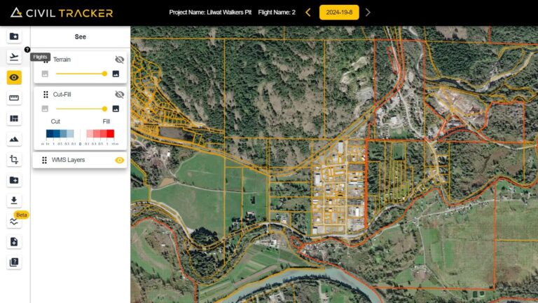
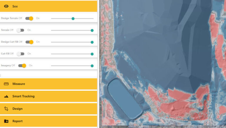
KML and KMZ Import Feature
Easily import KML and KMZ files from CAD and GIS into Civil Tracker. Overlay your high definition drone imageryand terrain models with your property boundaries, topographic features, building layouts, and much more.
Easily import KML and KMZ files from CAD and GIS into Civil Tracker. Overlay your high definition drone imageryand terrain models with your property boundaries, topographic features, building layouts, and much more.
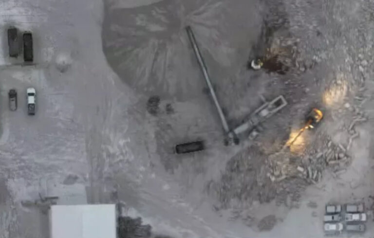
Winter drone mapping can often be much nicer than summer mapping. Most notably, there are fewer bugs! But anyone who’s operated drones in the winter can appreciate that keeping batteries charged and warm is challenging….
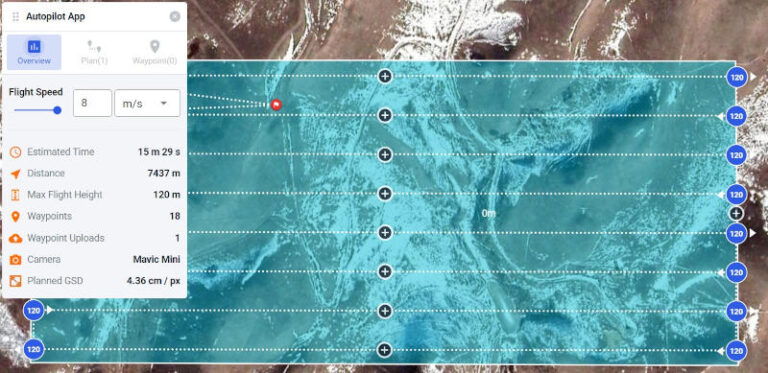
In our previous article, we created a drone mapping plan. If you don’t have a mapping plan yet, go back and checkout this article for some helpful tips How to Make the Perfect Dronelink Mapping…
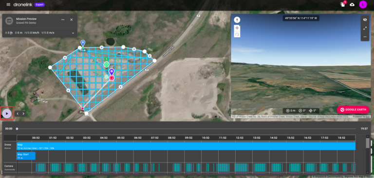
To create a drone map you need a drone, an autopilot app and mapping software (that’s Civil Tracker). We previously helped you chose a drone. If you missed that and don’t yet have a drone…
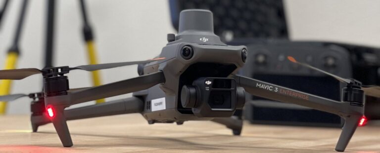
With numerous mapping drones on the market, choosing the right one can be hard. We’ve come up with a list of things to consider when purchasing a mapping drone. As a bonus, we’ve also included…
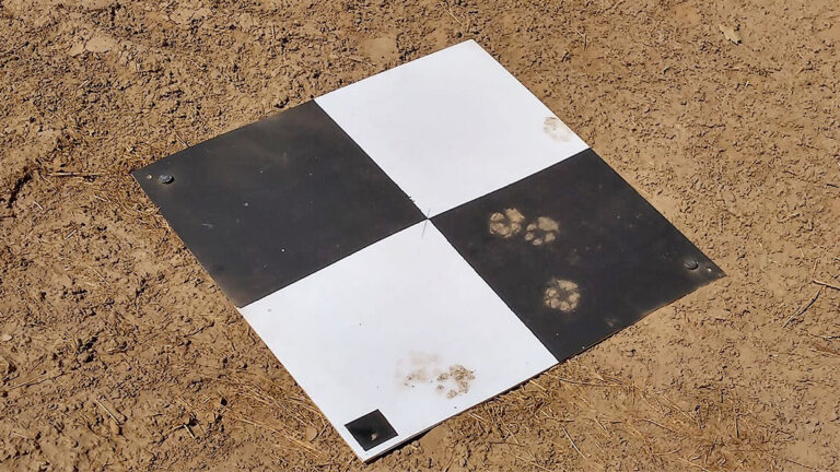
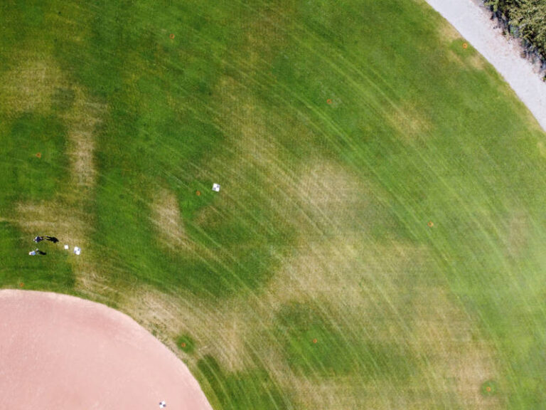
What are Ground Control Points, and What Purpose Do They Serve? Ground Control Points (GCPs) are large photo-identifiable targets that are placed on the ground within the boundary of your drone survey. GCPs are the…
With so many DJI drone autopilot apps on the market, it can be difficult to pick the best one for your mapping needs. Our goal is to review the differences between apps, and how they…
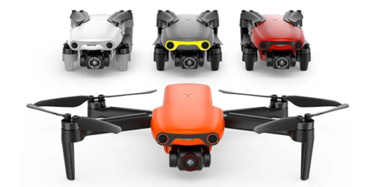
In September Autel Robotics announced their Autel Nano and Nano+ drone. The Autel Nano and Nano+ are two versions of a micro drone. Each weighs just under 250g and will compete with the DJI Mavic…
So you want to improve your drone mapping and make great drone maps? While making quality maps isn’t too complex, there are a few things you should be aware of before you launch your drone….
Compare your drone survey with your civil design surface to find cut and fill elevations and volumes One key to effective construction and site management is the ability to accurately know how much work is…