Drone | Monitoring | Regulatory | Support | Survey | Training | Video
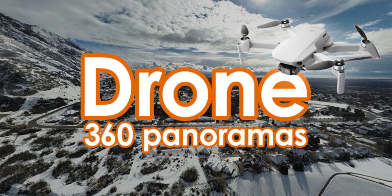
360 Panorama
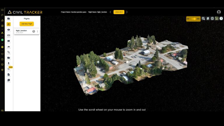
360 Panorama A 360 panorama is an immersive image or photograph that covers the entire 360-degree field of view around the camera or viewpoint. It allows the viewer to look in any direction, creating the…