Technology that Empowers
Accurate Drone Surveying For Everyone
Platform
View, Measure and Report in Civil Tracker. All while working in your favorite web browser. With no need for software installs or IT support. Civil Tracker eliminates the need for expensive processing computers.
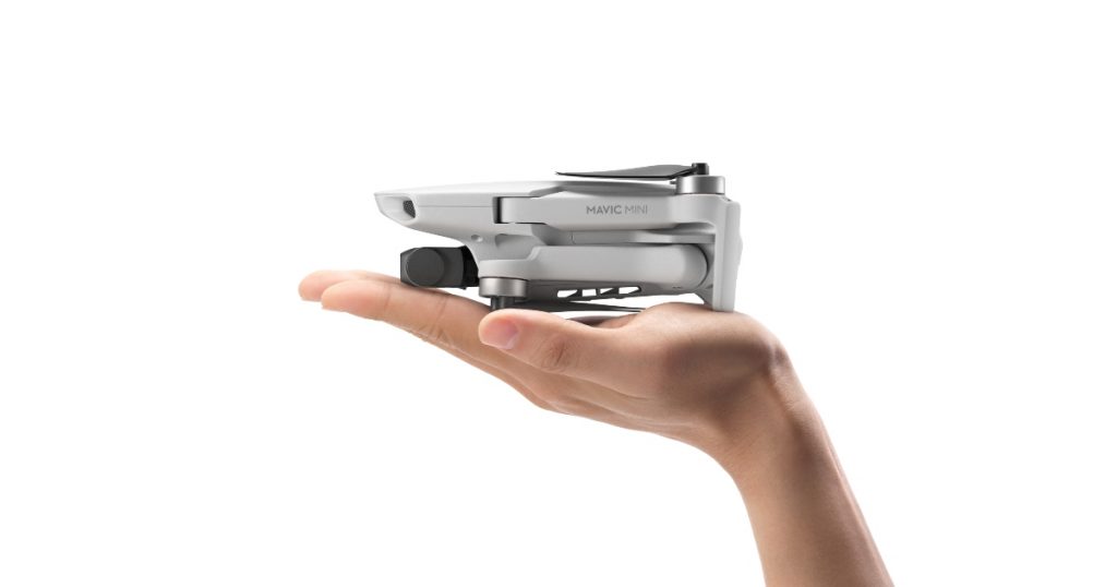
Smaller is Simpler
By supporting the lightest drones on the market we reduce the cost and regulatory barriers. All while improving the safety of mapping and surveying.
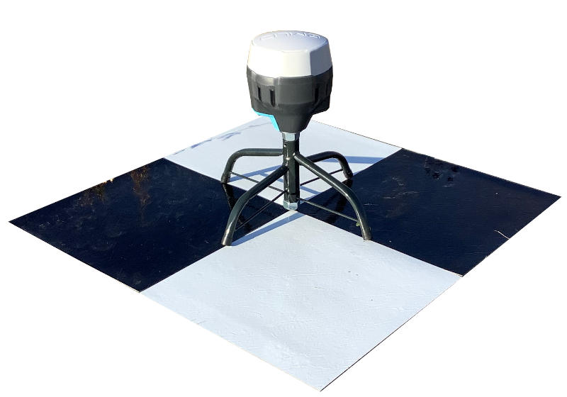
Ground Control Points as a Service
No need for expensive PPK or RTK drones or buy your own survey GPS. With Civil Tracker’s GCP as a Service we provide the hardware and processing to establish your high accuracy Ground Control Points.