Client Stories | Drone | Getting Started | Regulatory | Support | Survey
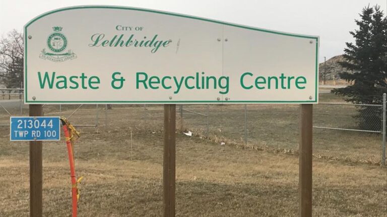
Lethbridge Landfill Customer story
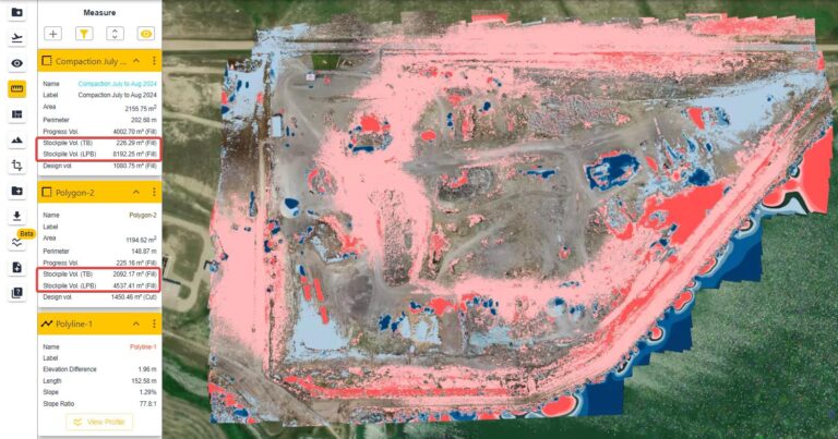
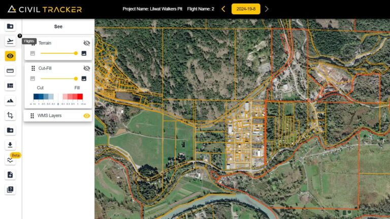
How Lethbridge Landfill enhanced their mapping missions using Civil Tracker Introduction The Waste & Recycling Centre (Lethbridge landfill) is a modern integrated waste management facility which serves the City of Lethbridge and the surrounding regions….