Mining
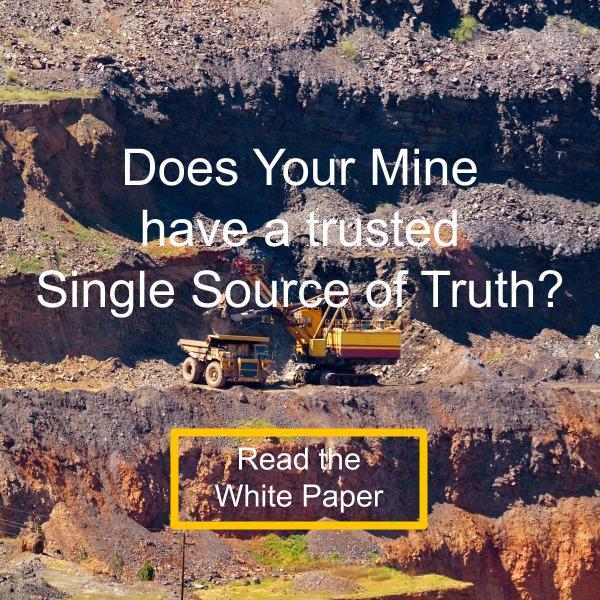
Your Mine’s Single Source of Truth
Your mine is a busy place with perpetual construction. Not just in the pit, but also dykes, ponds and tailings that are being built or reclaimed. Your mine planners, surveyors and engineers all need a single as-built to pull their respective tasks from.
We get it, and that’s why we built our Single Source of Truth Technology. We also know that you may have more than just drone survey as-builts, so we designed Civil Tracker so that any survey data can be uploaded.
Accuracy
It’s critical to only add validated, accurate data to your mine model. That’s why Civil Tracker follows a three step accuracy validation process.
- Use of Ground Control Points or RTK/PPK data.
- Collect and use of independant check points.
- Comparing static areas over time to ensure consistency.