Client Stories | ROI | Survey
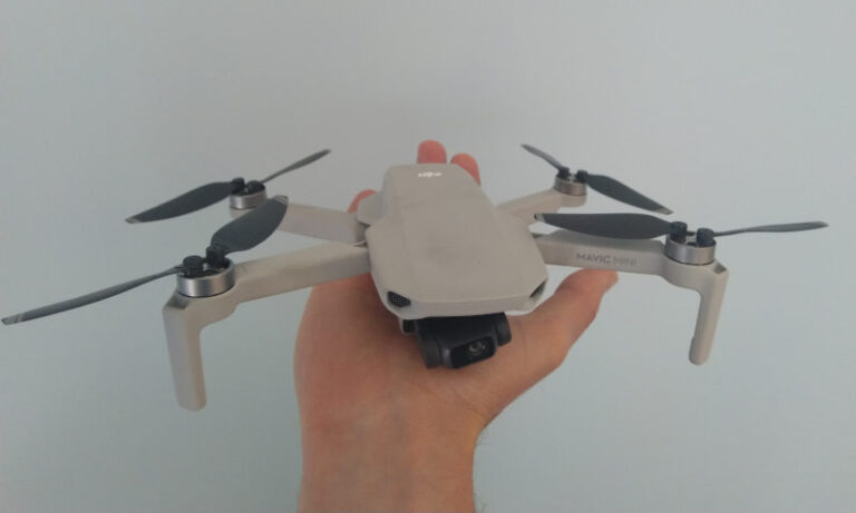
How Accurate is Mapping with the DJI Mavic Mini?
Previously in Can I Map and Survey with the Mavic Mini we showed an accuracy study, but we wanted to follow up with more. Why you ask? As you know, our nature is to push…