4 Tips for Better Winter Drone Mapping
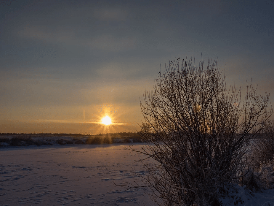
Winter drone mapping can often be much nicer than summer mapping. Most notably, there are fewer bugs! But anyone who’s operated drones in the winter can appreciate that keeping batteries charged and warm is challenging. Besides the cold, there are three key factors to consider when drone mapping in winter. They are the angle of the sun, low light and fresh snow. Please consider each of these and do your best to mitigate them when performing winter drone mapping. Through the rest of this article, I’ll explain why these are a problem and provide tips for reducing the impact on your results.
Low Sun Angle
The low sun angle during the short winter days creates several issues. These include long shadows, sun glare, and safety challenges.
It is challenging to see objects within the shadows. Visualizing a site is less intuitive because objects can appear elongated or distorted. It can also be challenging to know what is an object and what is the shadow.
Shadows also impact the surface model and create a noisy & rough surface model. This happens because the sun’s position in the sky is changing. The shadows continually move, and computer vision algorithms have difficulty in this environment.
There is only one way to mitigate the low sun angle and long shadows. It’s to operate on an overcast day. The clouds block direct sunlight and eliminate the dramatic shadows. The result is a more consistent orthomosaic and less noisy elevation model. Unfortunately, we can’t always wait for an overcast day.
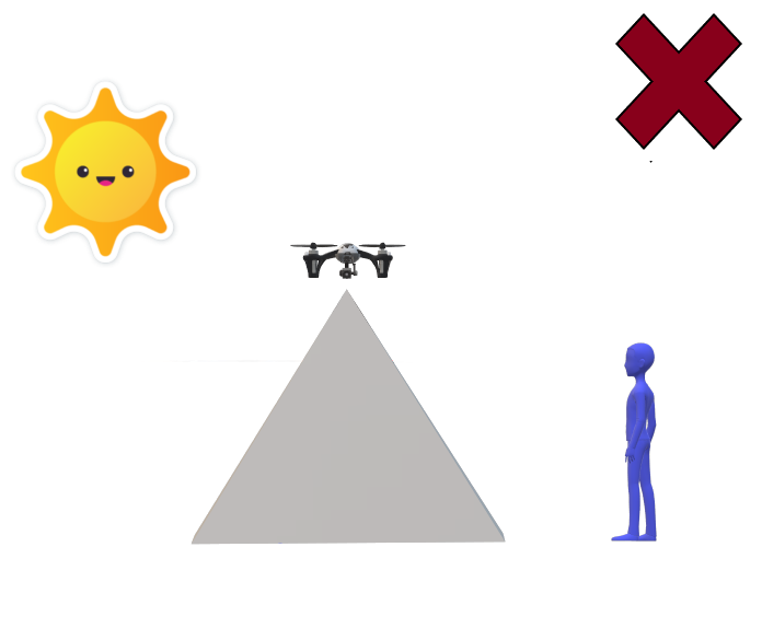
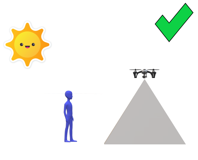
Choosing your takeoff and landing location is an important safety consideration when flying with a low sun angle. You want the sun at your back as you watch the drone and the airspace during the flight. You do NOT want to look into the sun the entire time while trying to keep your eyes on the drone. Preferably, you would want the drone pilot to be positioned somewhat between the drone and the sun.
Low Light
The days are very short in the dead of winter. We’ve seen data from flights near or after sunset several times this winter. The raw drone images end up being blurry. The resulting orthomosaic will be blurry, and the elevation model will be unreliable.
There are two low-light mitigating strategies to improve your winter drone mapping results.
- The first and best is to plan your flights for mid-day when there is as much light as possible.
- The second is to use a drone camera with a large sensor that captures more light. In these conditions, the more light that enters the camera, the better.
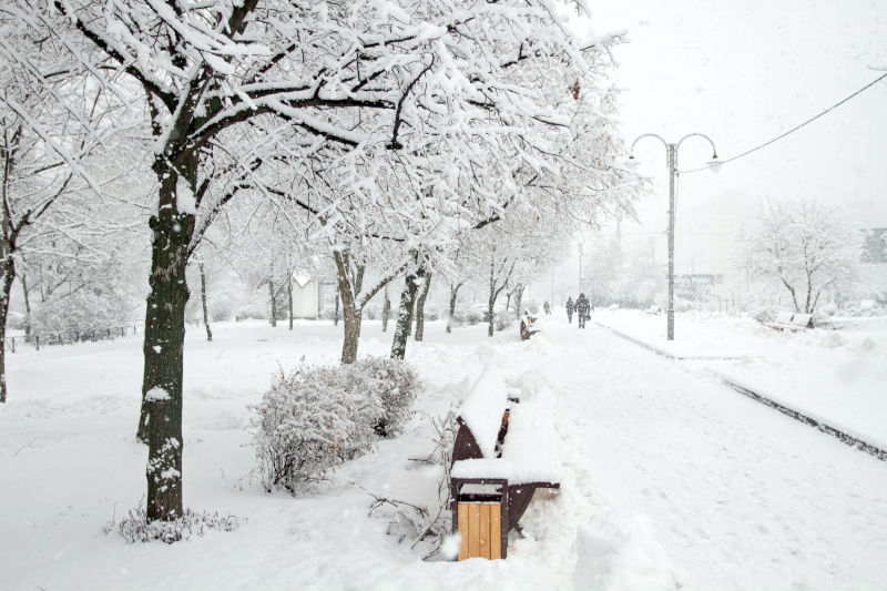
Fresh Snow
Flying immediately after a snowfall can negatively affect winder drone mapping results. Photogrammetry requires identifying matching points between images. When everything looks the same, it is difficult for computer vision to identify critical points.
There are two ways to mitigate this.
- The first is to wait until either the snow melts or it has blown around a bit and isn’t as much of a fresh white coat over the mapped area.
- The second is to increase the front and side overlap to 80% or 85% (more overlap increases the chance of finding matching points)
Cold Temperatures
Cold is the enemy of batteries, plastic, and everything related to winter drone mapping. At freezing temperatures, you can expect the drone’s battery life to drop by about 20% and further as the temperatures dip. If you’re regularly flying through the winter, it’s a good idea to pick a drone that’s suited for the conditions. All drones are manufactured with minimum and maximum operating temperature limits. Ideally, keep an eye on the long-term forecast and try to schedule your flight around cold temps.
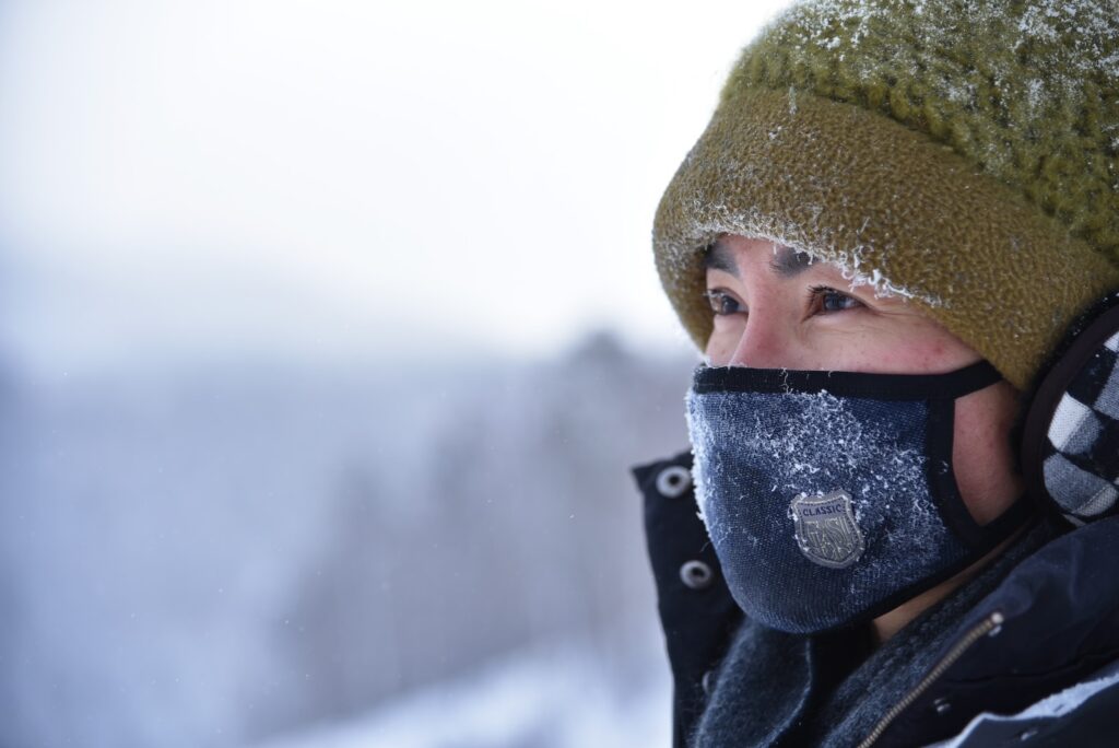
Equally important is the camera used in the winter. The cold temperatures can be brutal on camera shutters. It’s not just the drone temperature threshold that needs to be considered but also the camera itself.
The Good News for Winter Drone Mapping
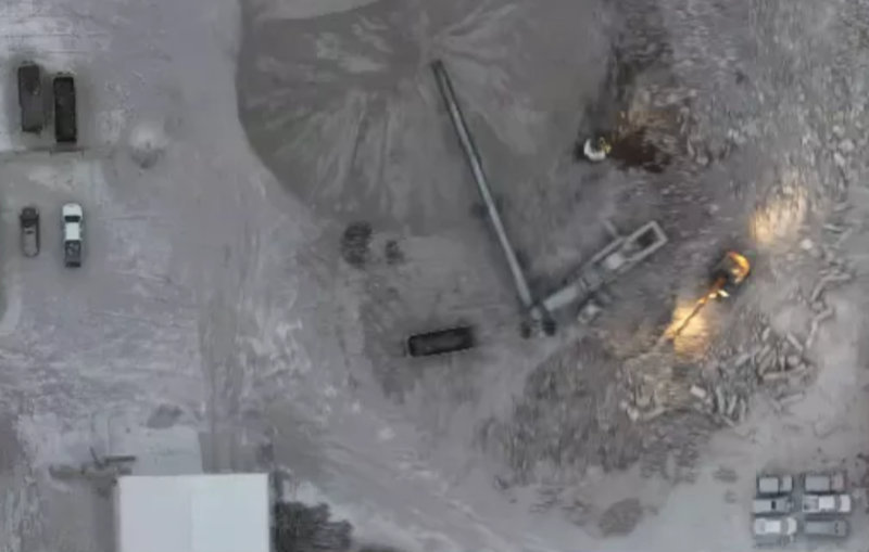
Drone mapping in the winter isn’t all bad. One benefit is less vegetation. The leaves are off the trees. The grass has been flattened. These both allow for better elevation models than drone mapping in summer.
Don’t get too disheartened. We’ve been drone mapping large mine sites all winter for the last several years. Collecting good data and getting good results is very rarely impossible. It just takes a little extra time, patience and planning.