Data Export
To Export you project data from Civil Tracker website, Go to the Civil Tracker Project page and follow these steps
Step 1
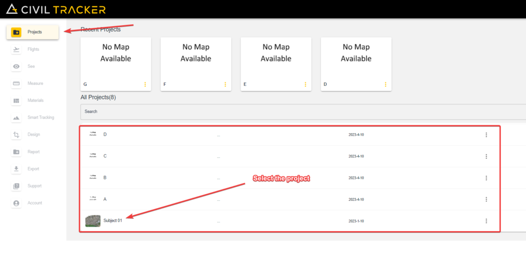
After Logging in with your Civil Tracker credentials, Simply go into the project tab and choose the project.
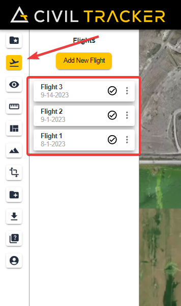
After choosing your project, Select the flight by clicking on the flight in the “Flights” tab
Step 3
After your flight, Go to the export tab and your deliverables are downloadable from there.
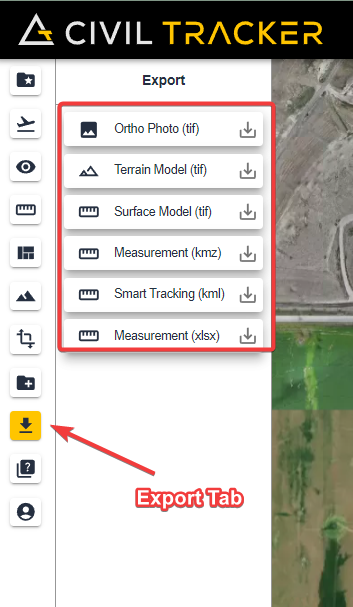
The downloadable data and their format is mentioned. Simply click on the download icon and wait a couple of seconds and your download will start.
Exports
Following are the exports present on Civil Tracker
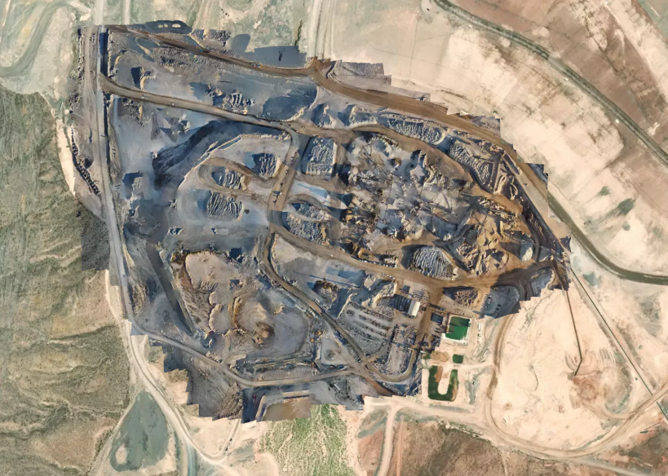
Ortho Photo
An orthophoto, orthophotograph, orthoimage or ortho imagery is an aerial photograph or satellite imagery geometrically corrected (“orthorectified”) such that the scale is uniform: the photo or image follows a given map projection. Unlike an uncorrected aerial photograph, an orthophoto can be used to measure true distances, because it is an accurate representation of the Earth’s surface, having been adjusted for topographic relief, lens distortion, and camera tilt.
If you have any trouble while exporting your data, Please reach out to our support team at “support@civiltracker.xyz” .