Hill Plain’s Pioneering Journey with Civil Tracker
Introduction
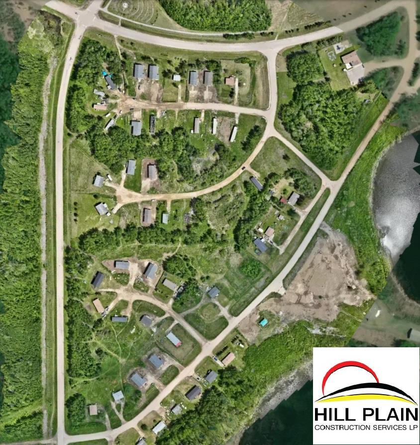
Hill Plain, a trailblazing 100% Indigenous-owned design-build construction services company, was founded in 2022. By 2023, it secured a landmark project with the Canadian Mortgage and Housing Corporation (CMHC) for the Alexis Nakota Sioux Nation, marking the largest CMHC project ever undertaken. This project, involving the construction of 72 homes in a rural area, required meticulous monitoring, quality assurance, and effective showcasing to partners.
The start of the Journey:
At the outset, Hill Plain employed external surveyors for occasional drone flights, primarily during the preconstruction phase. This method, however, did not meet the high-frequency monitoring needs of the ongoing construction project.
Transition to In-House Geomatics
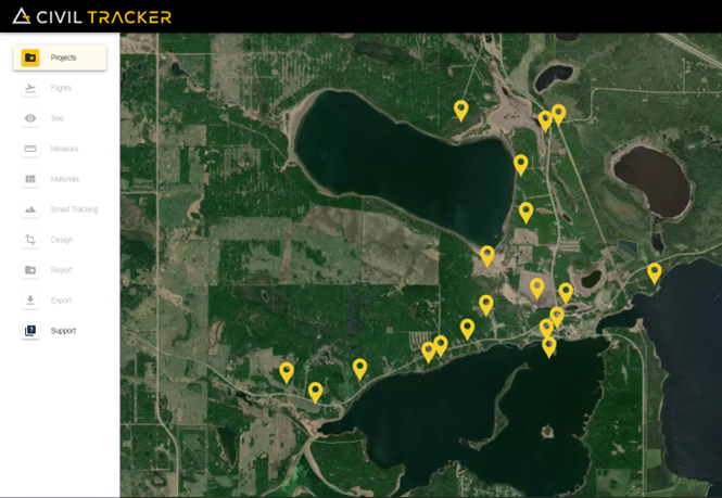
In 2024, Hill Plain took a significant step by establishing an in-house geomatics team to oversee and execute all mapping requirements. Partnering with Civil Tracker, the team achieved high-frequency, high-accuracy progress monitoring for all project sites.
Advanced Drone Hardware
Hill Plain employs the DJI Mavic 3 Enterprise drone, equipped with a mechanical shutter camera and an RTK module for centimeter-level precision, supported by a fixed base station. This setup ensures exceptional mapping efficiency. Civil Tracker, which ranks the Mavic 3 Enterprise as its top-performing RTK drone for mapping, has been integral to Hill Plain’s operations.
You can visit DJI website for further specs for the Mavic 3 Enterprise
Read more about the top performing mapping drones below
Project Achievements
Within the first three months of drone operations, Hill Plain’s dedicated geomatics team completed over 55 flights, covering homes across the entire project.
With a top performing drone and a very hardworking Geomatics team, Hill Plain was able to complete an impressive 55+ flights on homes across the entire project in the first 3 months of drone operations.
Project Planning
Hill Plain used its DJI Mavic 3E RTK to fly over numerous locations for new roads, child and family services buildings and an elder’s lodge. Civil Tracker was used to select the most suitable routing and location for buildings. The Hill Plain team was also able to estimate its earthworks quantities and complete site preparation.
Construction Management
Civil Tracker proved valuable in determining how much earthworks contractors should be paid and progress monitoring. Volumes were calculated for cut-fill and area calculations were completed for landscaping scopes of work.
Pilot
An Engineering Coop student and an Alexis Nakota Sioux Nation band member were trained to operate the DJI Mavic 3E RTK, obtaining Transport Canada Pilot Certificates. This initiative not only ensured effective data collection but also provided valuable skills and experience to the new pilots, enhancing the capacity of the project management team and the First Nation community.
How to Get Your Drone Pilot License in Canada
How to Pass Transport Canada Advanced Exam
Impact of Civil Tracker on Operations
Hill Plain’s geomatics team chose Civil Tracker for its user-friendly interface and intuitive functionality. Civil Tracker 3.0, coupled with its comprehensive training program, enabled the team to conduct 55 flights with minimal errors in the initial three months of their subscription.
Conclusion
Hill Plain’s innovative use of drone technology and strategic partnership with Civil Tracker underscores the company’s commitment to quality, efficiency, and community empowerment in construction. This pioneering approach not only sets a new standard for Indigenous-owned businesses but also exemplifies the transformative potential of advanced mapping technologies in large-scale construction projects.