3D Visualization
Unveil the Future of Visualization: Step into a New Dimension with 3D Visualization!
Discover a groundbreaking way to explore, engage, and understand your data, designs, and concepts like never before. Our advanced 3D visualization solutions turn complex ideas into clear, interactive experiences—whether you’re showcasing a product, architectural design, or presenting data.
Why 3D Visualization?
- Immersive Exploration: Experience a whole new depth of detail that flat, 2D images just can’t offer. Walk through spaces, interact with products, and dive into data with unparalleled clarity.
- Enhanced Decision-Making: Visualize every angle, every perspective. See your concepts come to life in real time and make confident, informed decisions faster than ever.
- Engage Like Never Before: Dazzle your audience with stunning, interactive visuals that transform the way they see your projects. Whether on screen or in virtual reality, 3D brings the WOW factor.
Are you ready to elevate your visual experiences? Unlock a new world of possibilities with our cutting-edge 3D visualization services. Perfect for architects, product designers, engineers, and anyone who needs to transform their ideas into something extraordinary.
Making sure you have all the bases covered before acquiring your data is important. Propeller has some great info on what makes a great 3D Flight
How it works
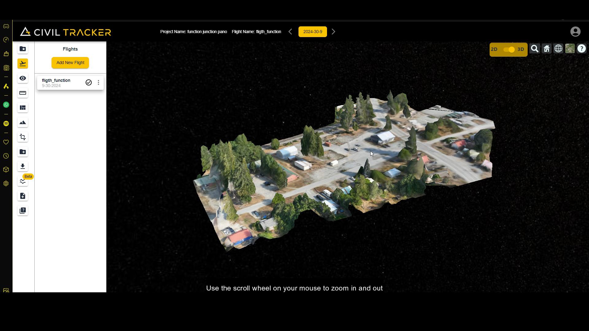
3D Visualization will be a part of your Civil tracker Subscription. Once your flight is processed and ready to view, hop onto your flight and you will see the 3D & 2D switch on the top right of your flight dashboard
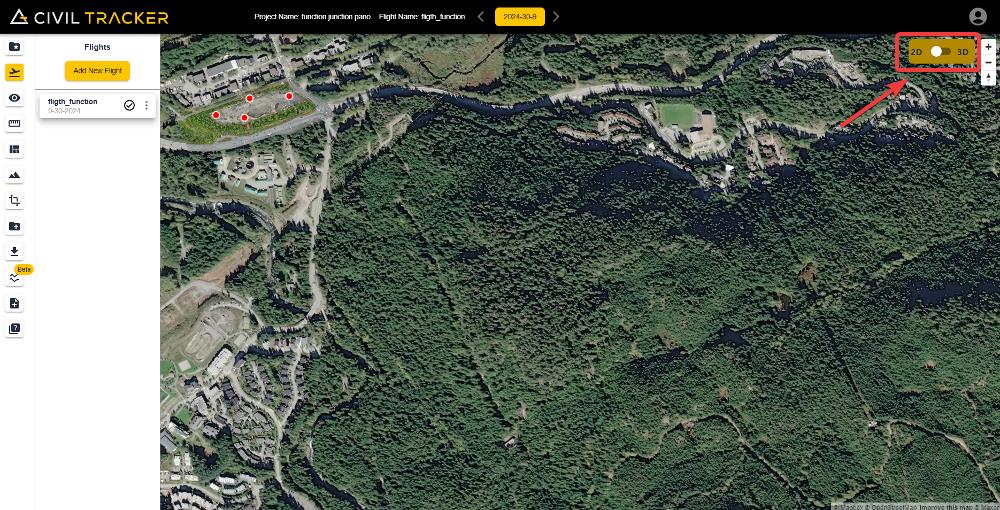
Below is a short Tutorial on how to turn the 3D viewer on and how to interact with the 3D viewer.
3D visualization will bring your mapping to a whole new dimension with countless opportunities. We are excited to see how you guys will use it
Sign up now to start using the new 3D viewer
They Trust Us