Drone Mapping Software
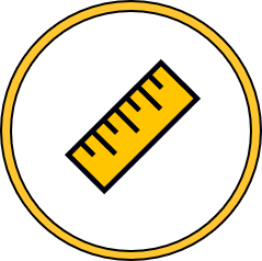
Measuring Made Easy
360 Panos
Dive into the immersive world of 360 Panos and reach new heights of Drone mapping
3D Viewer
3D Visualization is here. Enhance your mapping experience with our 3D viewer
View, Measure, Act
Making decisions is simple, when all the information is right in front of you.
- View your project with 10 times the resolution of google earth.
- Measure with 10,000 times more points than traditional surveys.
- Survey 10 times faster.
Take action from the office or on site.
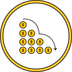
Save Time and Money
Achieve 100% ROI the first time you use Civil Tracker.
Optimize
Plan

Save
How it Works
Civil Tracker turns pictures from your affordable drone into accurate maps and terrain models, allowing everyone to become a virtual surveyor. Dig a little deeper to learn about how it all works.
Volumes
Measurements
Improve Safety

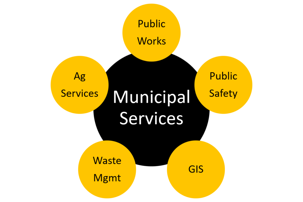
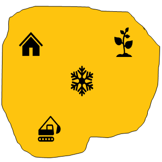
Municipalities and Counties
Infrastructure is critical to communities big and small. So, the ability to visualize, measure and work together is key to decision making. Yet, many counties do not have access to simple and affordable tools.
Aggregate, Sand and Gravel
Aggregate clients are using Civil Tracker to manage pit operations and yard inventories. Never crush too much or too little again. Civil Tracker gives you the insights to manage your operation efficiently.
Landfills
Regular drone flights optimize compaction and satisfy reporting requirements for your waste management site.
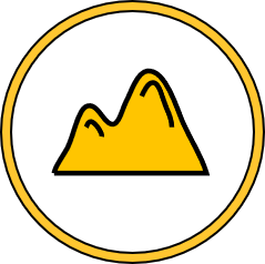
Mining
Maintain your mine model by integrating all your data with our Single Source of Truth database technology.
Leverage our Experience
With our professional survey background we coach and support our clients with all aspects of starting a drone program. We include everything from hardware selection, to your first flights. We know that new technology can be intimidating and we’ve got your back.
Training
In person or remote training.

Support
We believe in service not touch tone menus.

They Trust Us